The Cross Bank Brook flows in a couple of stone culverts either side of the Top Mill site, the first just under 100m and the second around 270m.
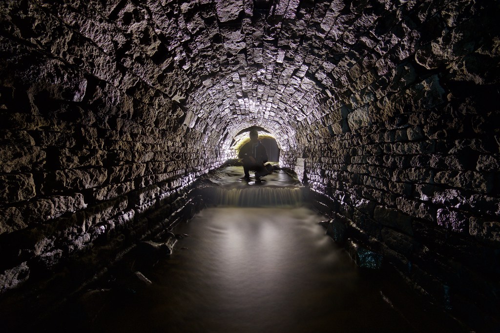
The brook drops under a road briefly then runs alongside a farm, the infall and next few meters is pretty low and the arch is in pretty bad shape at points. Luckily it soon opens up and the stonework can be admired without needing to be bent double.


The most notable feature of the culvert was the amount of speleothems along one section, with plently of stalactites and calcite ribbons decrorating the arch.


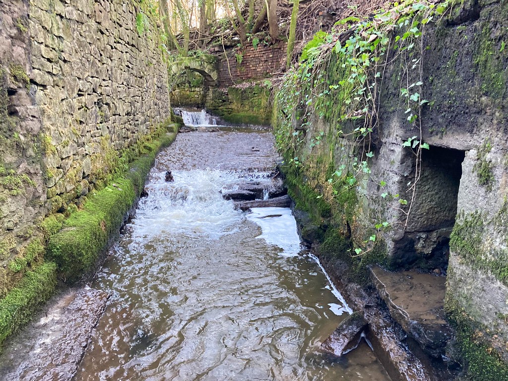
Out in the open again was the section that ran next to Top Mill, the building long gone, but the park around it now lovingly cared for by the nearby residents. There were a couple of side channels but nothing big enough to explore.


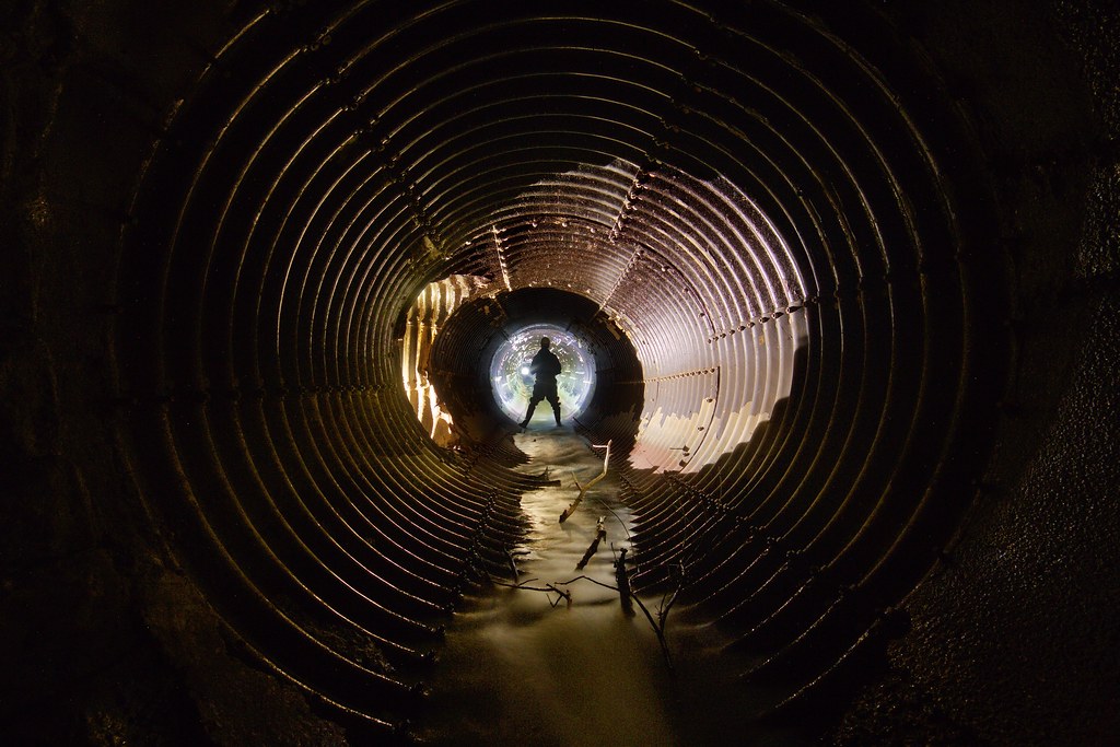
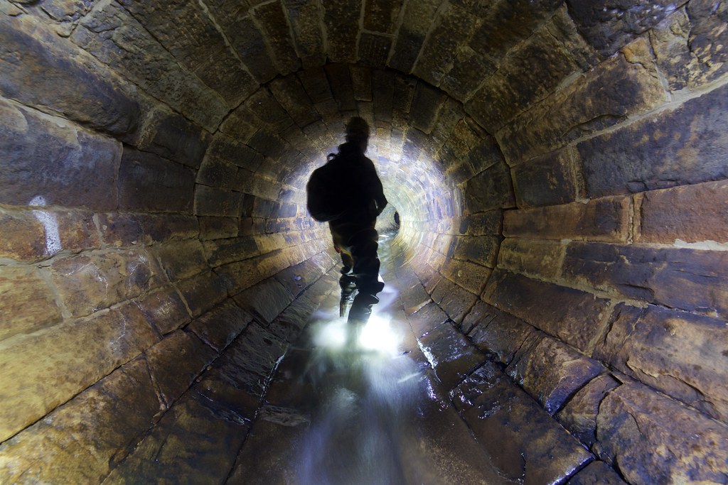
The second culvert starts off as round stone pipe around 7ft tall.


After a short downhill walk the pipe changes to CMP, the bottom was badly corroded with sharp metal ribs waiting to cut your foot open. It was a straight run down to the outfall around 200m away but I didn't bother with it. Apart from what looked like a small drain from the motorway above it didn't look worth risking my waders for.